Historical route view
Transit and directions at call speed
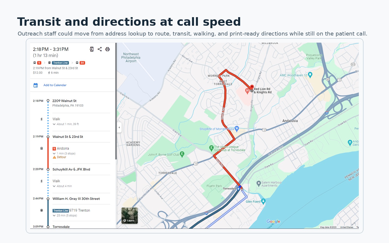
A preserved Jefferson Maps view combining locations and transit directions for outreach calls. Routes and service schedules are historical.
Provenance
The location details came from the spreadsheet-backed practice directory and public Jefferson location information, with Google Maps supplying routing and transit context. The route view is included to show navigation context, not a patient record.
Version
Preserved 2023 working-map view; publication date May 31, 2026.
What the artifact shows
The full artifact keeps the transit itinerary and map together. The left panel shows departure and arrival times, walking segments, transfers, and a rail segment; the map preserves the route line, destination pin, surrounding roads, landmarks, and river context. Share and print actions remain visible at the top of the itinerary.
The artifact demonstrates why access guidance required more than naming a practice. During outreach, staff could use route time, transfers, walking distance, landmarks, and printable directions to help a patient evaluate whether an option was workable. The image contains navigation context rather than patient-level data and does not represent a live route or current service schedule.